Colorado
Downhill Skiing & Snowboarding
Arapahoe Basin Ski & Snowboard Area
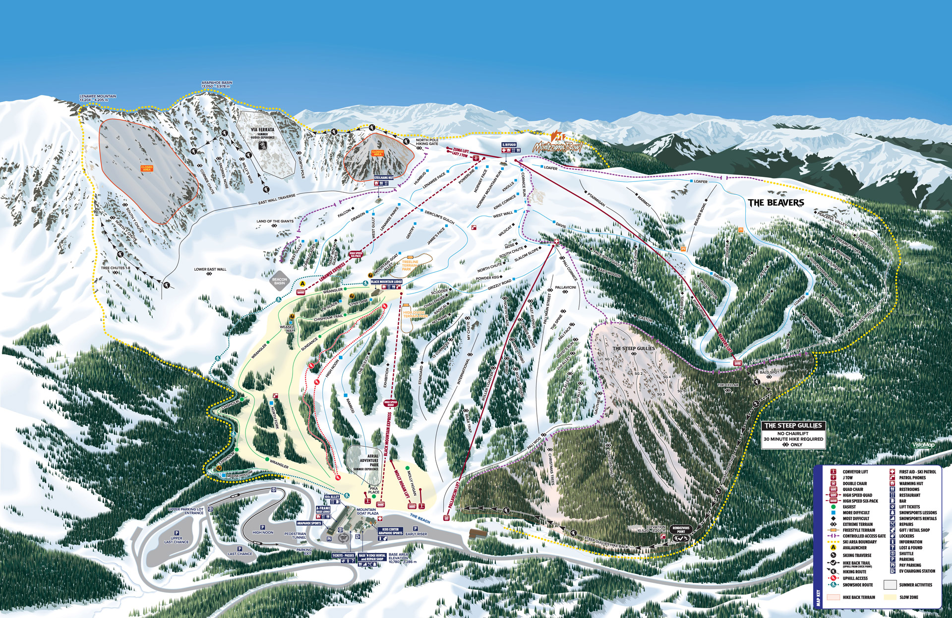
Arapahoe Basin
We believe in Sun, Snow and Fun. Our motto is "Ski Above All™." For the past half century snow-sports enthusiasts have been flocking to A-Basin because of its natural attributes.
With a summit elevation of 13,050 feet, A-Basin offers the highest skiable terrain in North America.
At this elevation, the snow falls, the sun shines and the fun abounds.
It is true that over 70% of Arapahoe Basin is classified advanced and expert. This leaves almost 30% of the mountain for intermediates and novices to enjoy. A-Basin also has added historical trails this year, which represent the history of the area.
Places to Stay & Fun Things to Do
The memory of a lifetime! Snowmobile tours, guides will take you through Colorado's high country, see awesome views of the majestic Colorado Rockies. Snowmobile Rentals and Tubing in Summit County.
General Skiing Information
Season Opening Date: October 28, 2023
Season Closing Date: June 2, 2024
Vertical Rise: 2,530 ft.
Terrain: 1,428 acres
Number of Trails: 147
Longest Run: 1.5 miles
Trails:
 Beginner - 7%
 Intermediate - 20%
 Advanced - 49%
 Expert - 24%
Terrain Parks: 3 (Treeline, High Divide & Banana Park)
Annual Snowfall: 350 inches
Lifts: 8 Total (1 High-Speed Six-Pack, 2 High-Speed Quads, 1 Quad, 1 Double, 2 Conveyor Lifts & 1 Surface)
Lift Capacity: 11,300 riders/hour
Facilities
Base Elevation: 10,520 ft.
Summit Elevation: 13,050 ft.
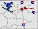
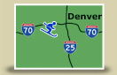
Map Location: North Central F-13
Location: A few miles up the road from Keystone Ski Area.
More Activities & Information
Summit County, Colorado includes: Breckenridge, Copper Mountain, Dillon, Frisco, Green Mountain Reservoir, Heeney, Keystone, Silverthorne
Downhill Skiing & Snowboarding in Colorado