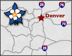
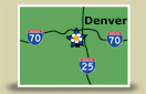
Colorado Scenic Byways Map
Mount Blue Sky Scenic Byway
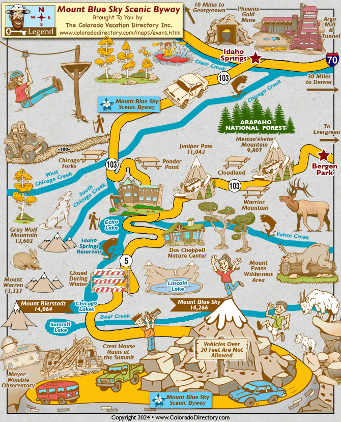
Mount Blue Sky Scenic Byway
Mount Blue Sky (fka Mount Evans) Scenic Byway increases in elevation an impressive 7,000 feet in just 28 miles, and is home to diverse wildlife, dazzling scenery, and many recreational activities to keep visitors busy. Mt. Blue Sky Scenic Byway is the highest paved highway in North America, reaching an altitude of 14,130 feet.
Vehicles and motorcyclists must make a reservation and pay a fee to access the road. Bicyclists and hikers must pay an entrance fee. Fees range from $3 to $15.
Mount Blue Sky Scenic and Historic Byway is set to reopen for the season the Friday before Memorial Day 5/24, weather permitting and will remain open through Labor Day. Reservations will be available beginning 5/21 and can be made up to 30 days in advance of planned visit.
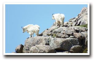
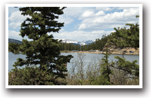
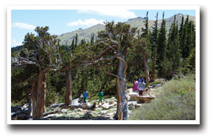
At the summit, visitors will feel small in comparison to the breathtaking scene laying out before them. The entire Front Range and the Continental Divide stretch out below and beside them are wildflowers, lichens, grasses, pristine alpine lakes, marmots, rock-jumping mountain goats, and big horn sheep. Not only do some consider this the best place to catch a glimpse of the big horn sheep, but it is also one of the few places where alpine tundra exists below the Arctic Circle.
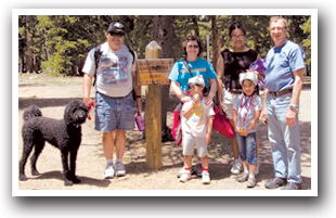
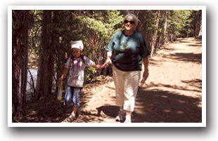
When looking for adventure, this is the place to find it! Recreational opportunities are endless; go fishing in clear mountain lakes and streams or stop for a picnic and view wildflowers and wildlife; for a more athletic experience, there is also hiking, horseback riding, backcountry skiing, snowshoeing, rafting, biking, and four-wheeling.
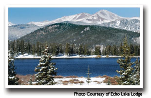
The mountain offers medium to hard grade trails for biking; a popular trail of medium grade is approximately 17 miles to the top of Echo Lake. One should get an early start on this trail as the weather and traffic get worse later in the day. Take time to stop in this area at the Echo Lake Lodge and Restaurant. Built in 1926, its authentic log cabin design and unique architectural artwork are reason enough to visit.
There are several points of interest that shouldn't be missed when visiting this area. Many prospectors struck it rich during the gold rush in Idaho Springs, located at the beginning of the Byway. The town itself is rich in history and tradition; the quaint Victorian community offers camping, lodging, biking, hiking, rafting, and relaxing in the hot springs pools.
Evidence of the gold rush still remains in the Argo Mill & Tunnel, which was once the longest tunnel in the world, connecting Idaho Springs to Central City. Colorado School of Mines uses an old mine as an underground classroom and it is also open to visitors for tours. Whether you are looking to be dazzled with adventure or just to escape the everyday pressures of work and the city, this is the place to come to.
Please note that there will be a FULL CLOSURE of the Scenic Byway from Labor Day 2024 to Memorial Day 2026 for road repair. The Federal Highway and CDOT in partnership with the USFS, Denver Mountain Parks, Clear Creek County, Colorado Parks and Wildlife, will be working together to insure the road repairs will be done in a way that maintains the beauty and wildlife of this beloved Colorado fourteener.
DRIVING DIRECTIONS: From Denver, take I-70 west and take Exit 240. Travel south and follow CO Highway 103 to Echo Lake. At Echo Lake is the Forest Service's check-in station. From here, the road runs to the summit of Mt. Blue Sky (fka Mt. Evans). The byway is 28 miles (44.8 kilometers) long and will take about an hour to drive.
Places to Stay & Fun Things to Do
RV and Tent sites in the mountains above Denver at Idaho Springs RV Resort Campground, enjoy great access to the Scenic Byways: Mt Blue Sky and Guanella Pass, and Loveland Ski Area. Dogs welcome!
More Local Information
Denver Mountain Area, Colorado includes: Black Hawk, Central City, Empire, Evergreen, Genesee, Georgetown, Golden Mountains, Idaho Springs, Idledale, Morrison
Scenic Byways in Colorado